The reasons for carrying out a dilapidation survey (or building audit) are broad. They can include reasons for justification, basis of comparison, or decision-making for the following scenarios:
There are short-term and long-term benefits in carrying out a dilapidation survey:-
Short-Term Benefits
Long-Term Benefits
Classification of Properties
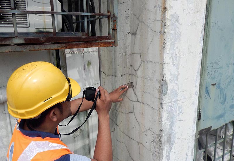
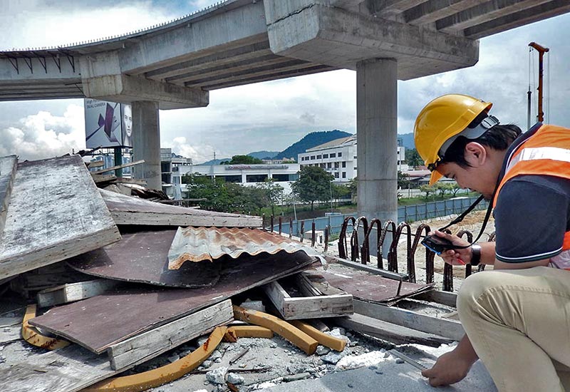
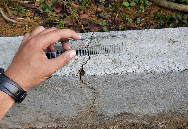
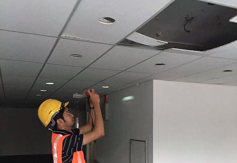
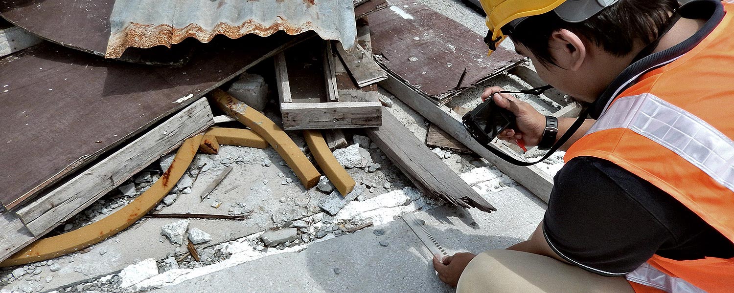
A condition assessment appraisal is a process that involves a detailed check on a structure (be it a building, bridge, tower, etc.) to determine the causes of structural problems such as defects, distresses or damages.
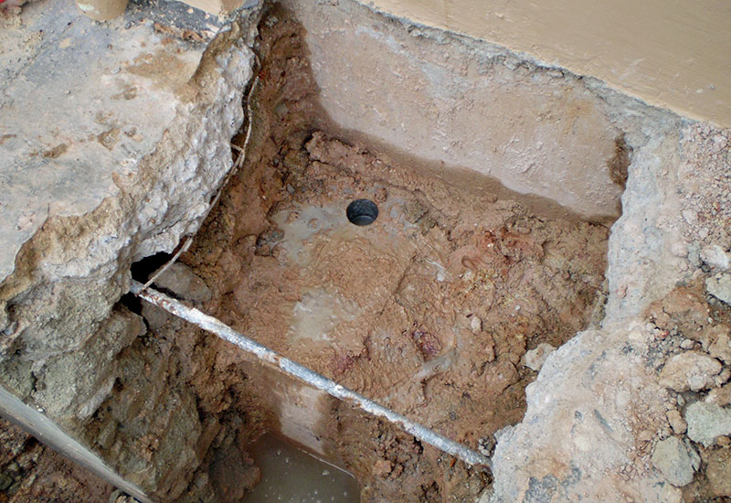
Typical problems that can occur in a structure or building:
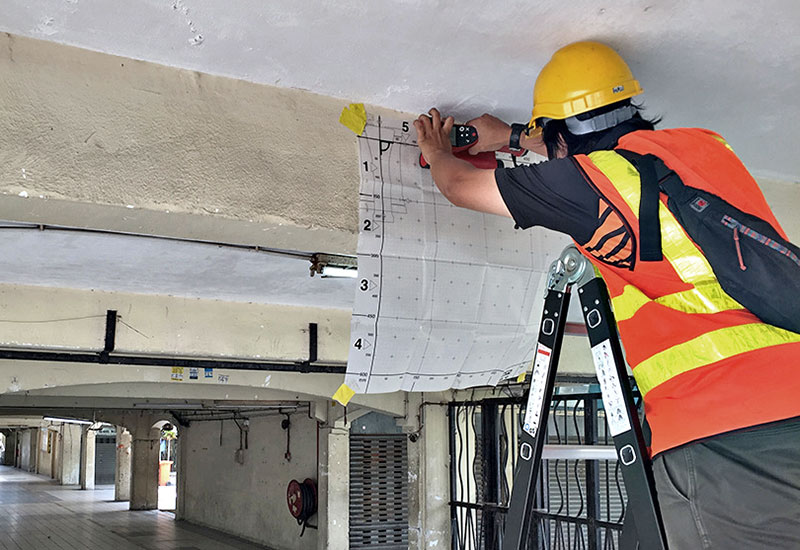
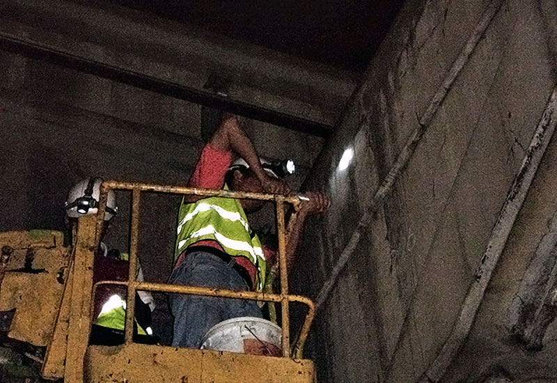
The typical assessment or appraisal process usually involves the following steps:
Vertitech's scope of condition assessment services include:
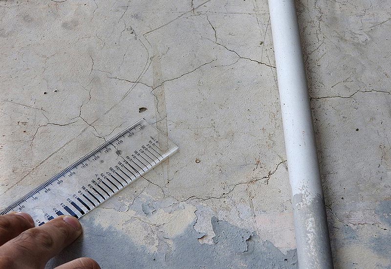
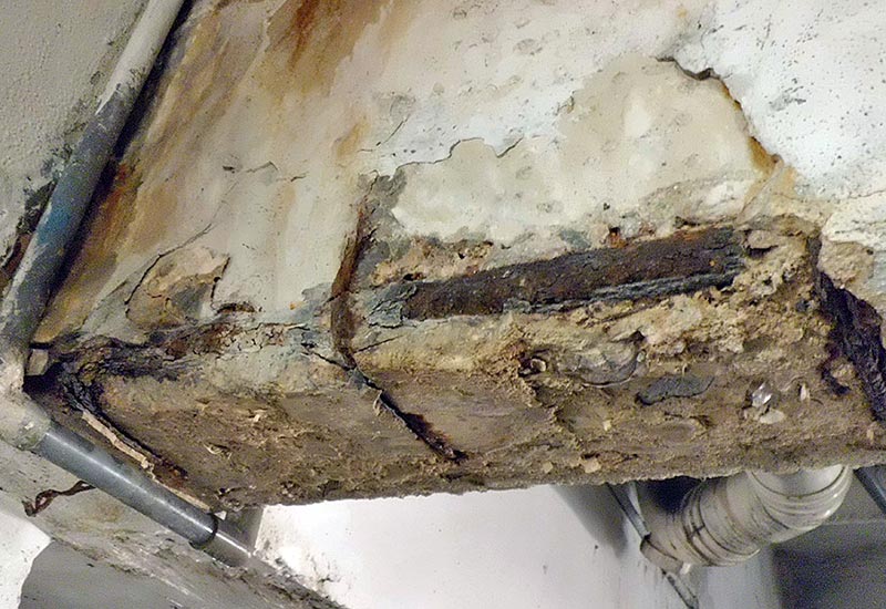
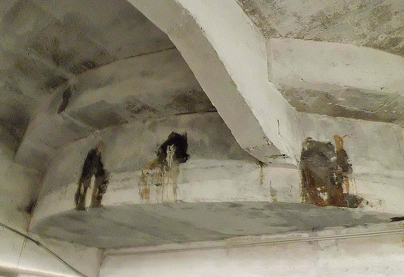
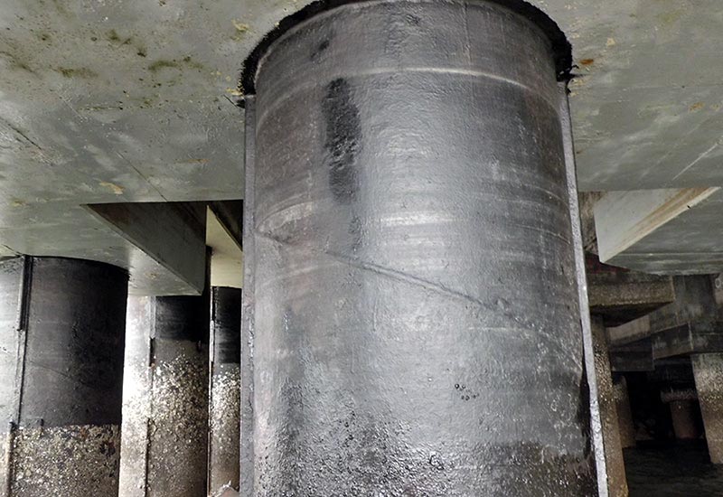
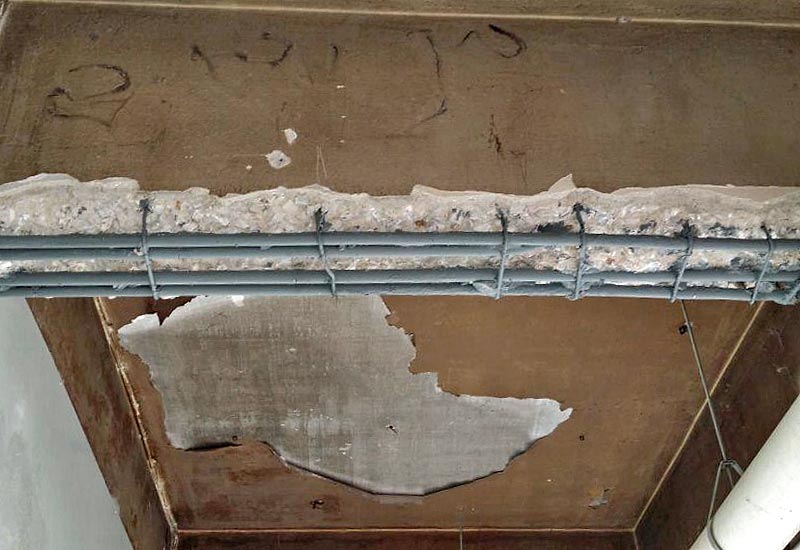
Typical Problems
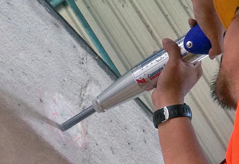
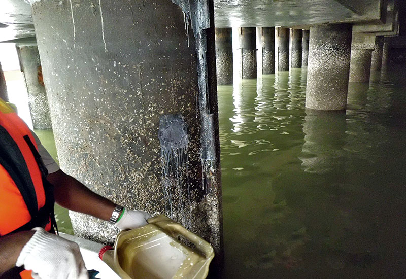
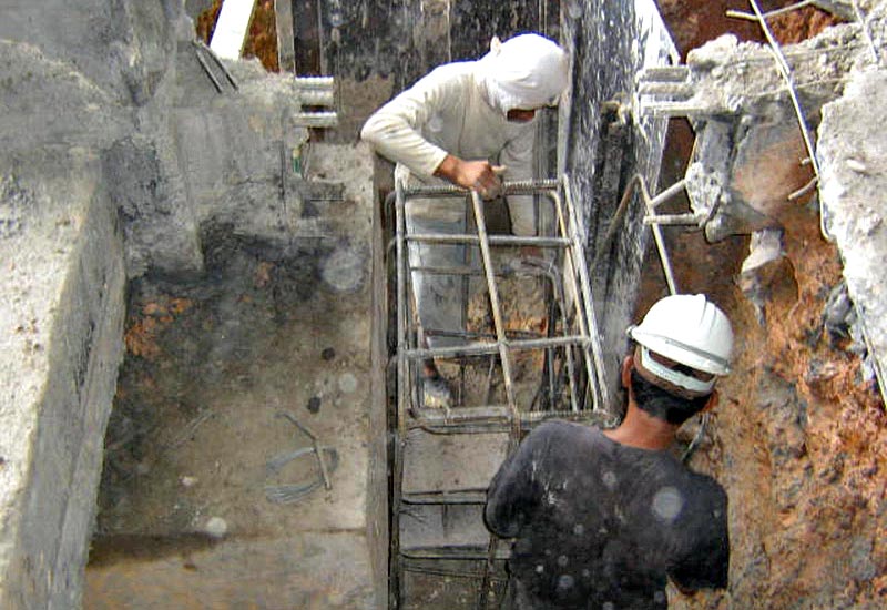
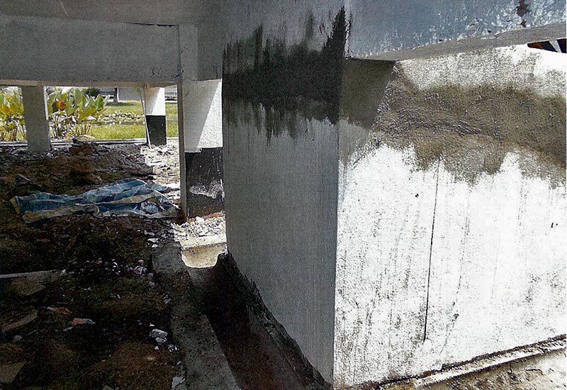
Typical Repair Methods
Typical Repair Methods
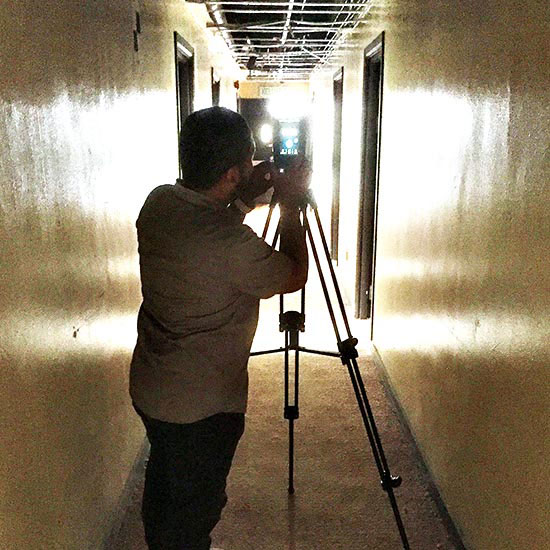
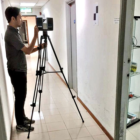
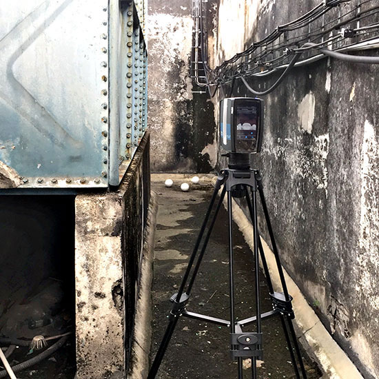
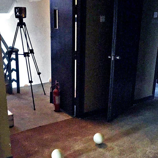
Utilising LiDAR scanning technology, Vertitech is able to perform accurate 3D surveys to digitalise as-built assets — retroactively providing critical building data that can be integrated into Building Information Modelling (BIM) solutions. This provides significant benefits in the area of Facilities Asset Management (FAM).
LiDAR — an acronym of 'light detection and ranging', or 'laser imaging, detection and ranging' — is a method for determining ranges (variable distance) using lasers. LiDAR is used extensively to make accurate digital 3D representaions of the earth's surfaces, with applications in surveying, geodesy, seismology and more. It is currently one of the the key technologies used in the control and navigation of autonomous cars today.